Stanley Park, Vancouver.
It doesn’t have the notoriety of New York’s Central Park or Hype Park in London, yet it’s bigger than either of them. And instead of being surrounded by urban landscape, most of the park’s border is defined by the Pacific Ocean.
Vancouver has lots of open spaces but Stanley Park is my favourite. It sits on the western tip of downtown Vancouver, although when you’re there the city feels much further away. When I run along the inner trails often the only thing I can hear is the gravel crunching below my feet. Stanley Park covers 1000 acres and there’s lots of activities hiding among all those trees – The Vancouver Aquarium, a seaside pool, gardens, beaches, trails, mini golf, tennis courts. The most popular attraction, certainly for me, is the Seawall.
The Seawall now stretches 22km including along the fringes of Downtown Vancouver and across to the beach at Kitsilano, but it started with Stanley Park. A lot of cities around the world boast waterfront walkways and today such designs would be standard in a setting like this, but the construction of the Seawall around Stanley Park started in 1917 – long before such projects were priorities. The 8.8km of Seawall around Stanley Park took 54 years and master stonemason Jimmy Cunningham oversaw the project for 32 of them, unfortunately not surviving to see it to completion. His ashes are scattered at Siwash Rock, a distinctive formation near Third Beach.
I’m a creature of habit when it comes to my running and this part of the Seawall became my training ground for the half marathon I ran in 2012. The flat path and helpful distance markers became annoyingly familiar as I ran around the water’s edge and back again. There is also nearly 30km of trails inside the park, which I explored only twice when I lived in Vancouver two years ago. Slight concerns about getting lost and wasting time working out where I was and where I was going kept me from venturing along them alone.
Last week I tested a friend’s running app called RunGo. The app gives voice navigations along pre-determined routes, giving users directions as you run. The company is based in Vancouver so there’s plenty of routes around the city. I decided the unfamiliar trails inside Stanley Park would be a good place to test it. I got super super lucky with the weather that day and again a few days later when I tested RunGo around the Seawall. I don’t usually run with a phone, which means no camera, so I got a bit snap happy while running with an iPhone.
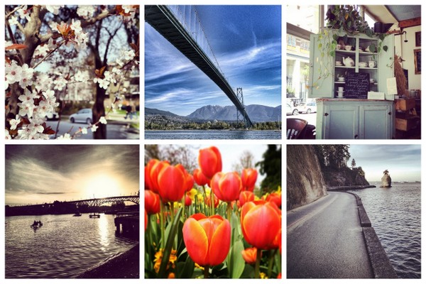
Vancouver is a stunning city so I thought I’d show it off a bit for you.
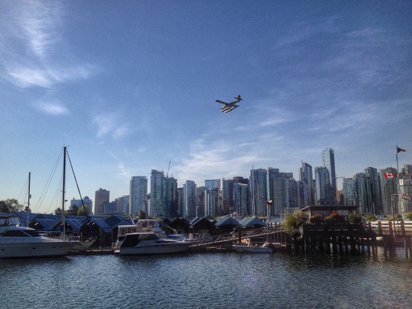
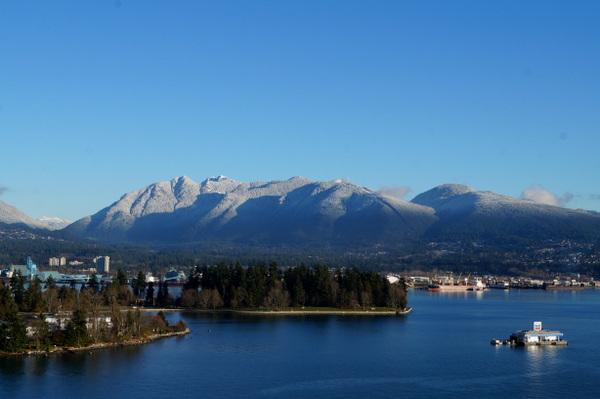
View of Coal Harbour from the Seawall at Stanley Park
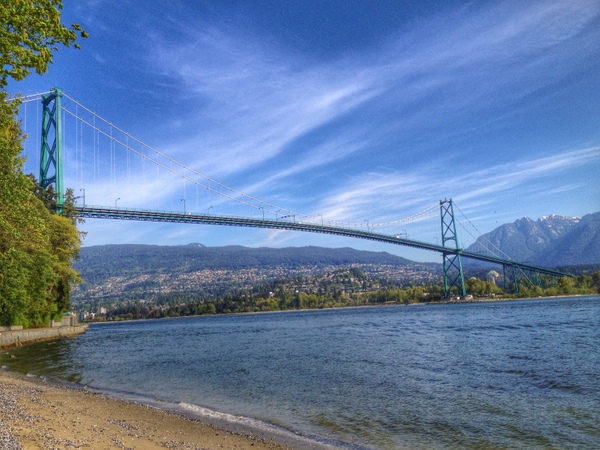
Lions Gate Bridge
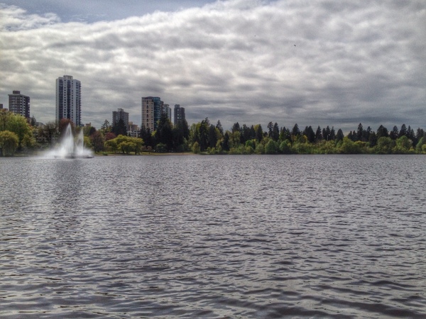
Lost Lagoon
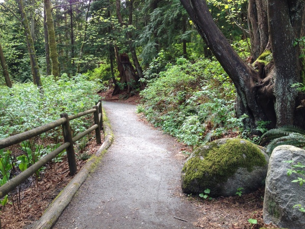
Ravine Trail, Stanley Park
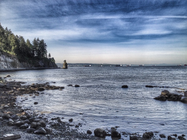
Looking to Siwash Rock from the Seawall
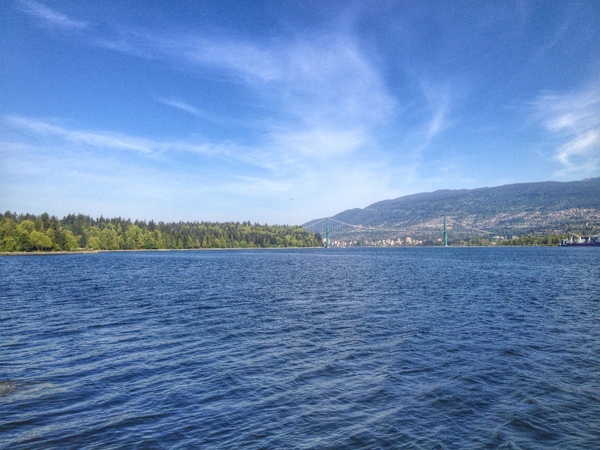
The view north to Lions Gate Bridge, from the Seawall
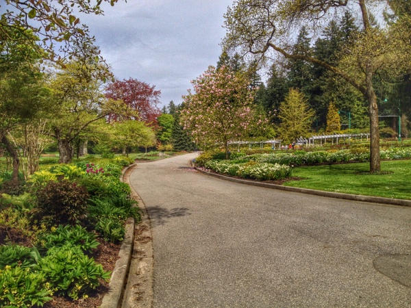
The Rose Garden
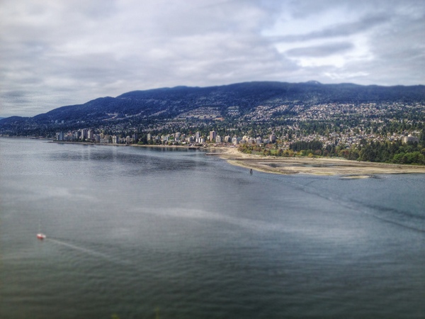
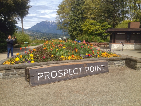
The view of North Vancouver from Prospect Point
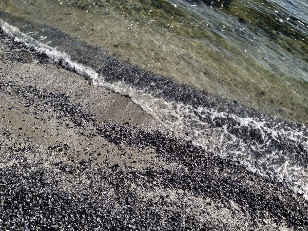
The shore, as snapped from the Seawall
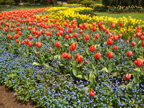
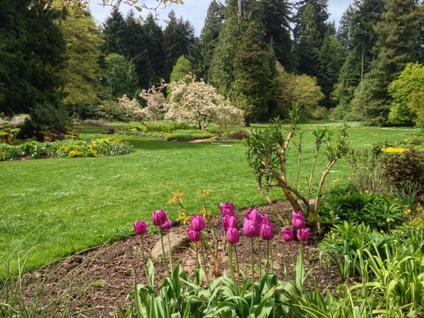
The Rose Garden has more than just roses in bloom
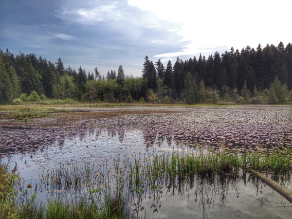
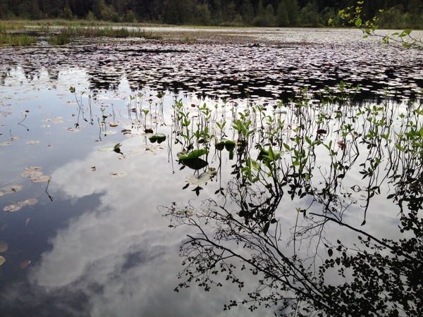
Beaver Lake
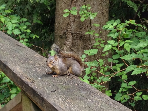
A little friend on the Beaver Lake Trail
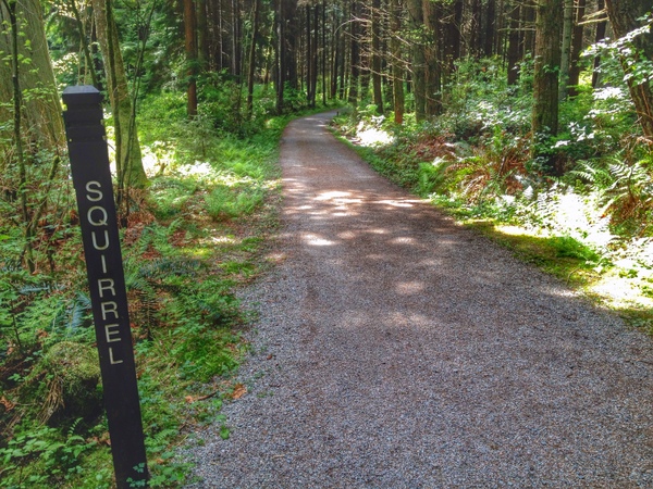
Squirrel Trail, Stanley Park
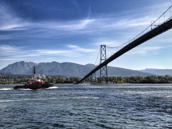
A tug boat about chug under Lions Gate Bridge
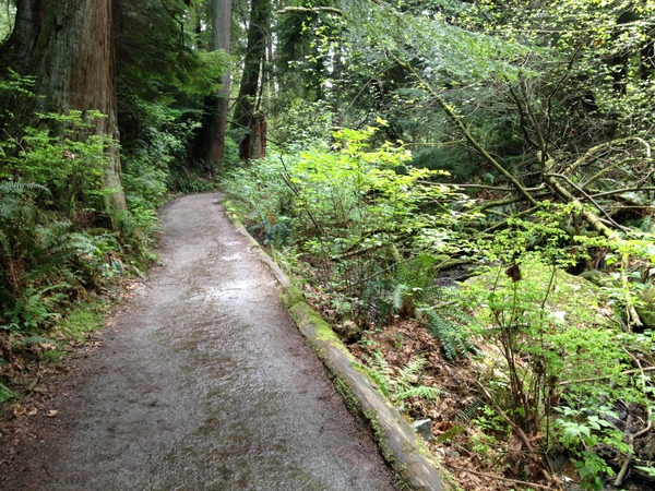
Ravine Trail, Stanley Park
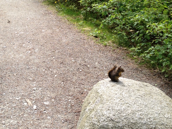
Another little critter hanging out on the Beaver Lake Trail
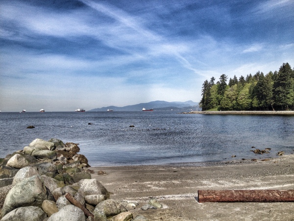
Second Beach, near the 8km mark on the Seawall run
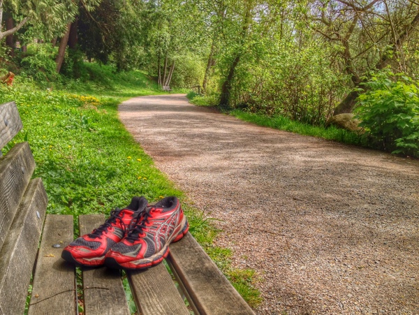
Someone left their shoes behind on the Lost Lagoon Trail
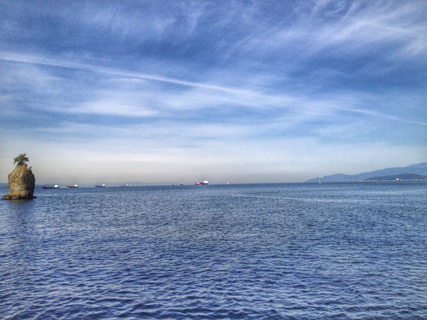
Siwash Rock.
I ran the 11.9km Prospect Point Loop, created by the Running Room’s Denman St store for its run club. The route is available on RunGo, which can be downloaded from the iPhone App Store.

