Another wet and foggy day in Newfoundland. This comes after the island has received two weeks of glorious weather, so I’m told by the locals. Thanks.
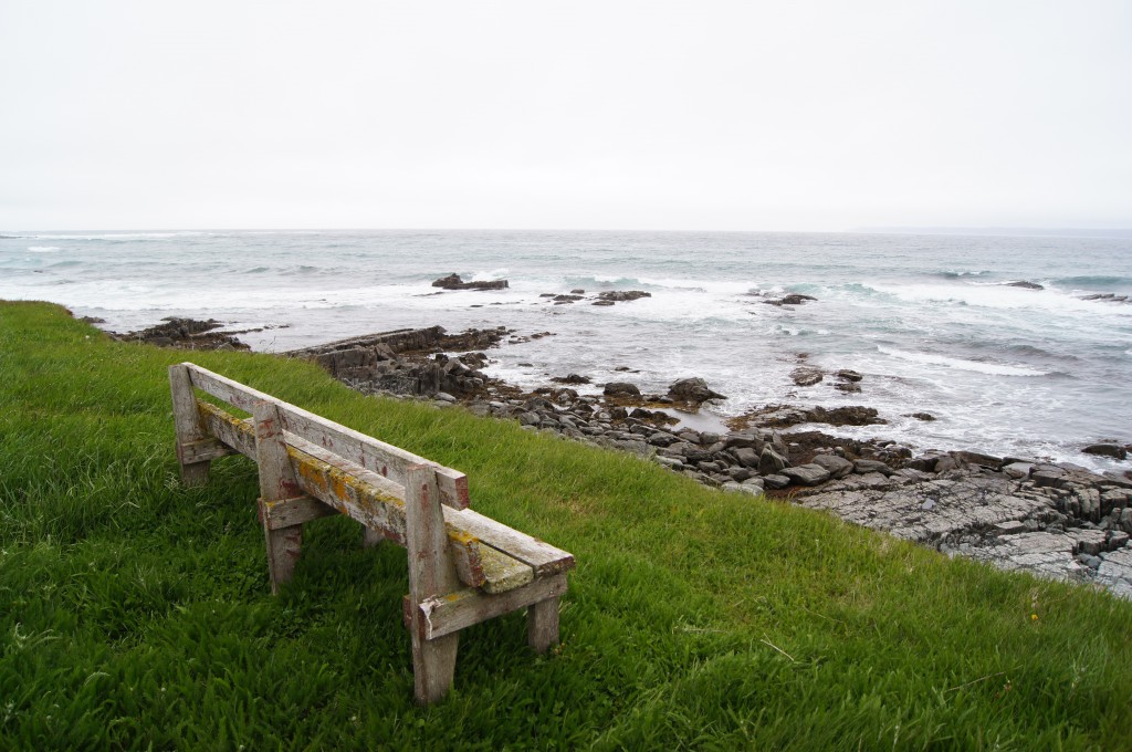
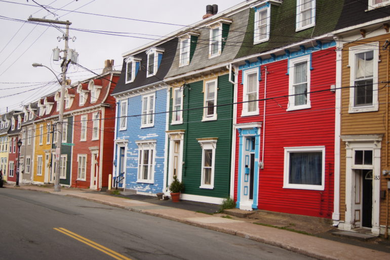
Today I’m returning to St. John’s, but I don’t want to double up on the route I took yesterday so I head south on Route 80, down the west side of the Bay de Verde Peninsula along Trinity Bay. This route isn’t as windy as the road yesterday and there’s also less little towns. The colourful hamlets I drove through continuously yesterday have been replaced by miles and miles of the Atlantic Ocean crashing into little cliffs. Apparently there’s a bit of a surf culture here, but they keep it on the down-low. I get the feeling the locals are a bit protective over their little patch of paradise. Good on them.
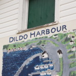
 The towns I do pass through are so close together, just as I noticed yesterday. But then for a long time there were no roads in this area. Until they were built, boats were the only means of travel. So what seems close to me in a car was not so close back then. The names of the towns I’m passing through are interesting: some quite lovely such as Hearts Desire, Hearts Content and Hearts Delights. But I also couldn’t resist, along with a lot of other travellers apparently, looking for a sign to photograph in Dildo.
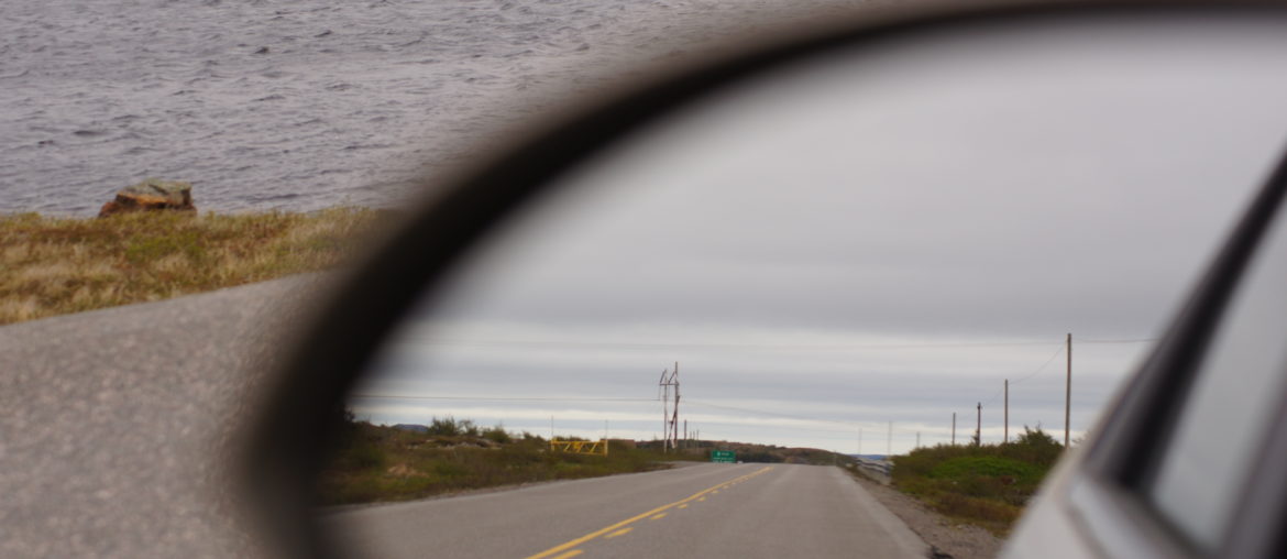
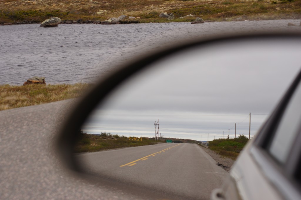
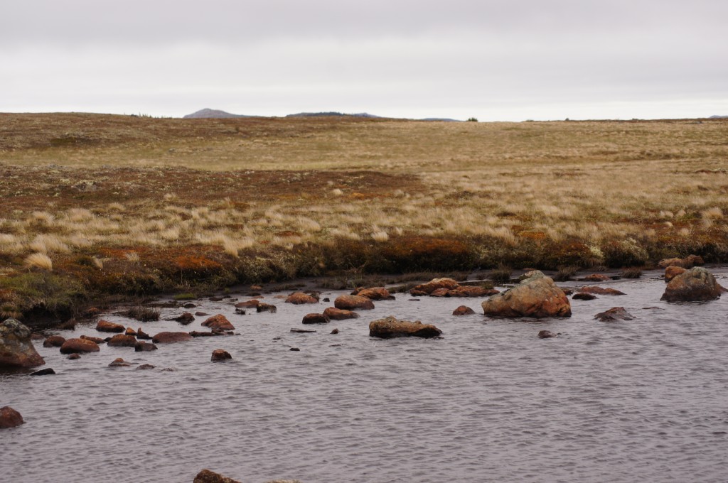
It wasn’t long after the above town that I returned to the Trans Canada Highway. My trip down Trinity Bay was about 90km and took nearly two hours. Then I was east-bound, but instead of following the major highway into St John’s, I kept heading east, later on Route 13, to Bay Bulls and the Southern Shore Highway. The land levels out in this area. The occasional little house but mostly miles of grass, rocks, bushes and little pongs. They must have had as much fun naming the ponds as they did the towns. Chocolate Pond. Big Triangle Pong. Little Triangle Pong. Looking at a map later I also found Round Pond, Duck Pond and Cow Pond.
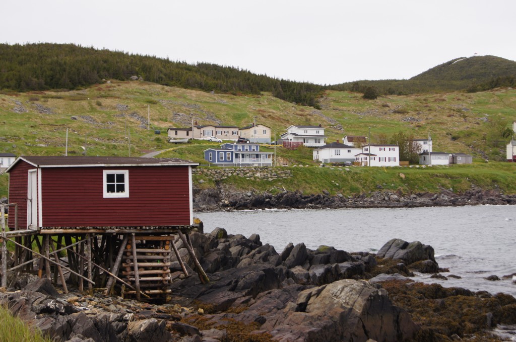
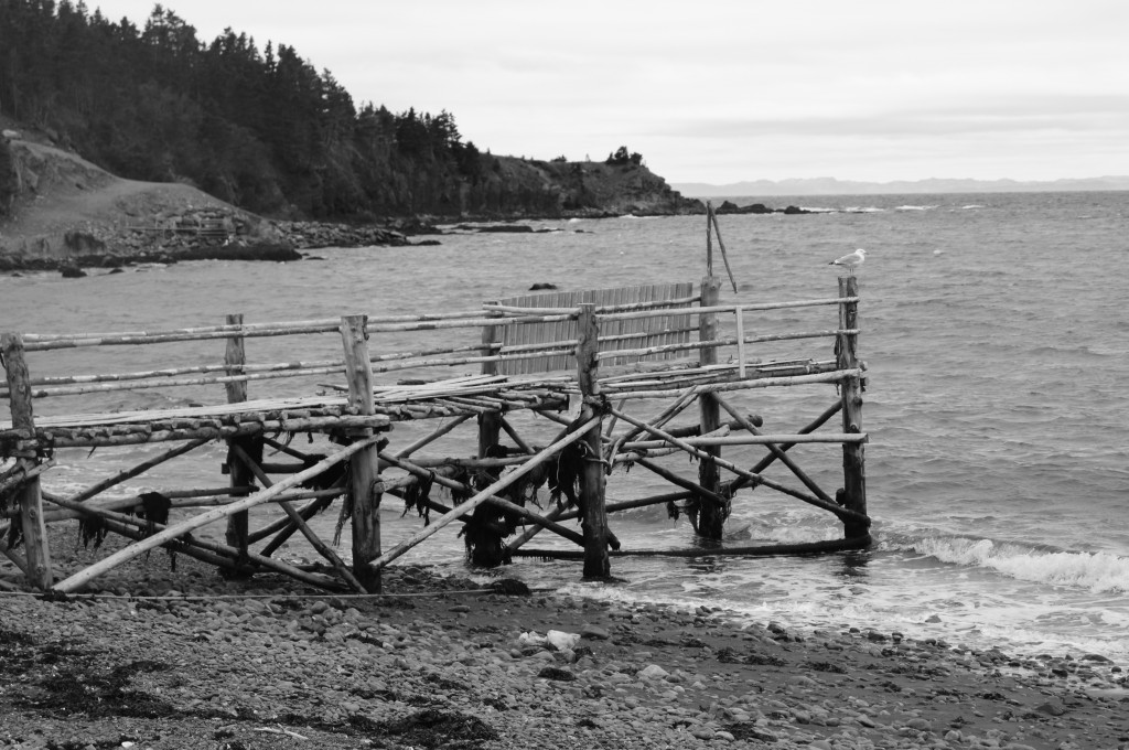
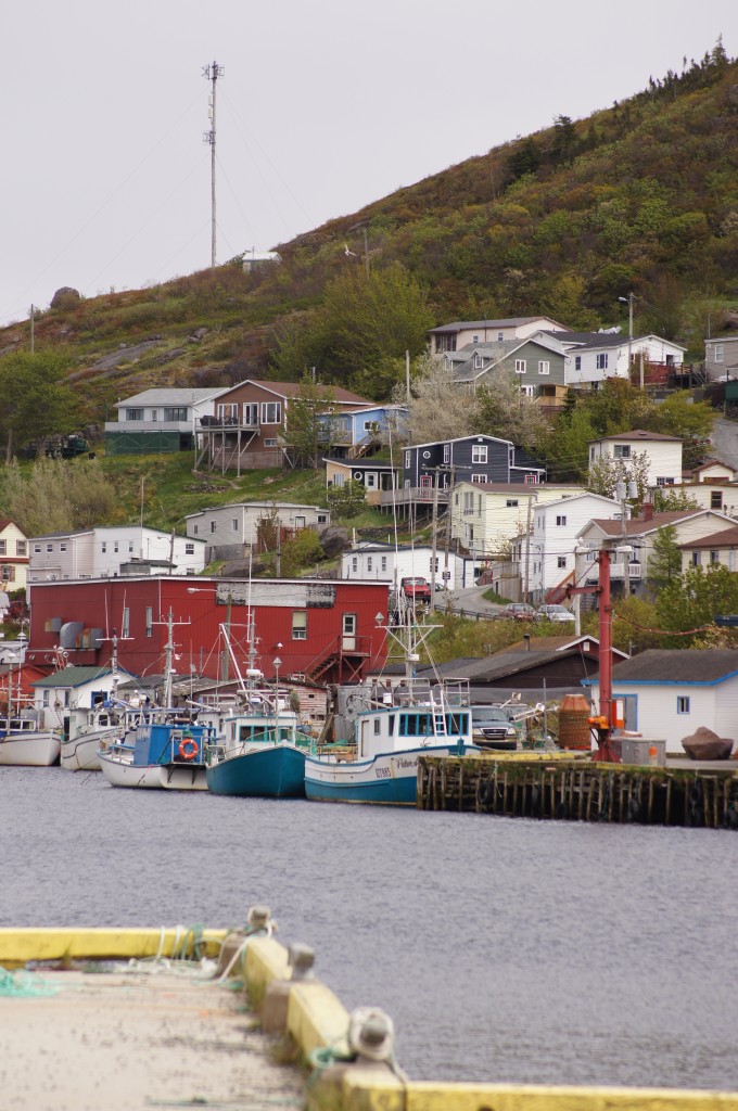
Once I hit the coast again those little seaside hamlets with their colourful houses and fishing boats returned. Nearly every town has a huge fish processing plant surrounded by seagulls. There are also a lot of funeral homes. Which probably accounts for the number of cemeteries. These are always in great locations.
I head up the coast to Petty Harbour and Maddox Cove. The traffic has increased as I get closer to St. John’s. Nothing dramatic, but for most of the past two days it’s been rare to come across a car. And if I did they weren’t around for long – either turning off or speeding past. I think I infuriated a few locals by sticking to the 50kmh limit. Petty Harbour is cute and also home to the oldest working hydroelectric system.
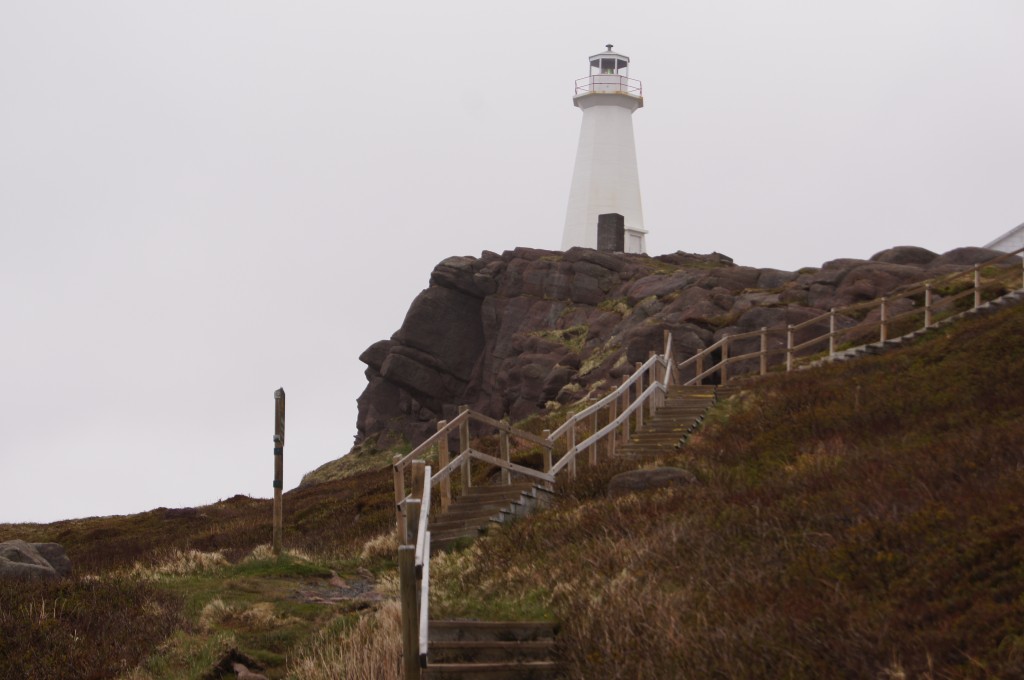
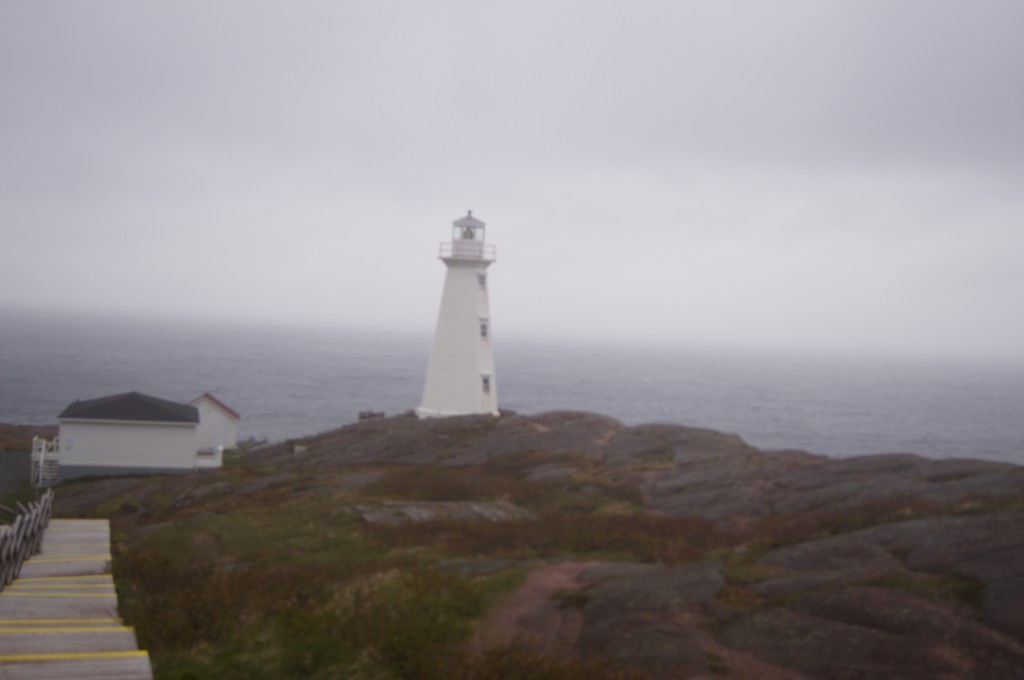
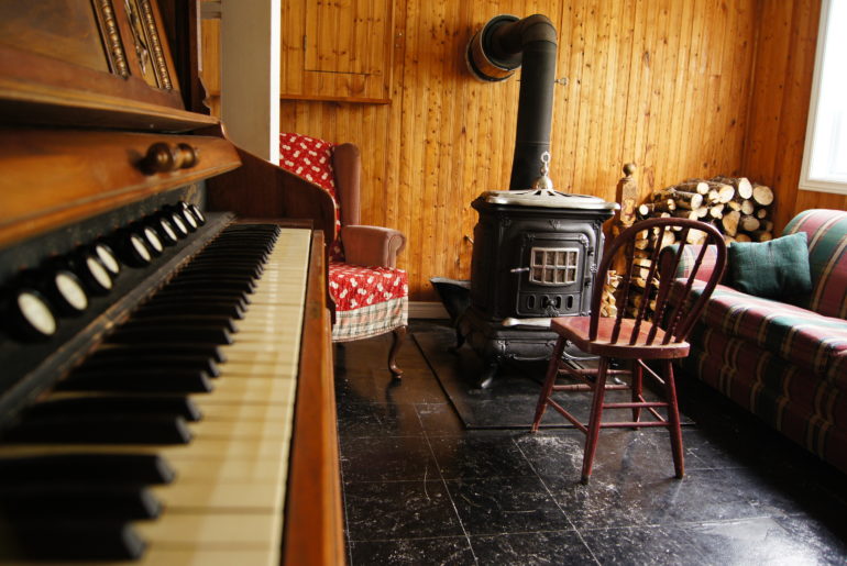
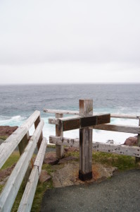 From here I’m only a few kilometres from one of the most popular destinations in Newfoundland: Cape Spear. It’s home to the oldest lighthouse still standing in Newfoundland but also the most easterly point in North America. And when was there about 3pm I put money on it also being the windiest and coldest point in North America. It’s been drizzling all day but this was ridiculous. After walking to the most easterly point I headed up to the lighthouse. By the time I reached it, it’s only a few hundred metres, my head was pounding with a headache from the wind. I took refuge in the original lighthouse building and enjoyed a tour thanks to the Canada Parks staff up there. They’ve set up the building to look like it did when the first lighthouse keeper lived there. The family only went into St. John’s about twice a year. They mastered the art of buying in bulk.
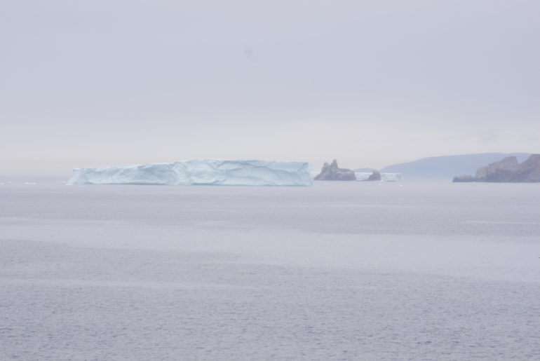
After defrosting in the original building, freezing again on the walk back down and then defrosting the car again I headed for St. John’s, stopping to admire another iceberg. The charm still hasn’t worn off.
I was warned many times of Newfoundland’s “moose problem”. The problem with the moose is that I didn’t see one. Darn it.

1 Comment
Looks like a wonderful-but cold- journey! Those little towns look very pretty!