On paper it seemed possible. Pelister National Park was mere kilometres from Bitola in south-west Macedonia. With a sizeable town on its fringes, surely the park would be pretty accessible?
Yes.
Kind of.
While some parts of Macedonia are really easy to explore, such as Lake Ohrid and Skopje, others are severely lacking in tourism infrastructure. It’s as if the thought that tourists might want to check out these places just hasn’t occurred to local business owners.
I travelled to Bitola with Sam, an American girl I met in Montenegro and crossed paths with through four different countries. We knew the park was close (at least that’s what my map indicated) so we asked at our hostel about how we might go about doing some hiking there. The best they could do was a map left behind by some other guests and offer to call us a taxi to take us into the park.
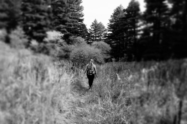
Now, hiking solo isn’t always the best idea. Even after living in England’s Lake District for a year and becoming familiar with some of the trails, I was always wary when going out alone. Naturally, the risks increase in an area you don’t know very well, or at all, and even more so if you don’t speak the local language. It’s one of the reasons Sam and I didn’t venture too far during our stay in Theth, in the Albanian Alps.
I had the same hesitation about hiking in Pelister and the lackluster maps from the hostel didn’t the help ease my concerns. I thought the proximity of the park to Bitola would mean there was a regular flow of visitors and sufficient information and facilities to help them make the most of it. There was an information centre at the entrance to the park, but even the maps we purchased there (which included one the staff member referred to as the “hiking map”) were poor. But since there were two of us we decided to at least see what we could, without taking any unnecessary risks.
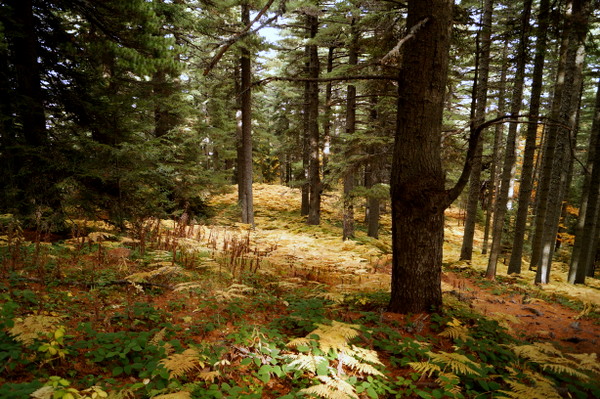
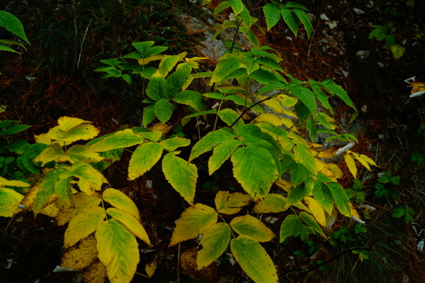
There are lots of challenging walks in Pelister, including some overnight hikes. Reaching the summit of Pelister at 2601m takes about five hours one way and from what I was told and read, it’s a difficult climb. But there are some shorter and easier walks that give you a taste of the landscape and are safe to tackle if you’re not a confident hiker.
During World War II Bitola saw a lot of action. The city was taken by Bulgarian forces in 1915 and later occupied by Allied forces in 1916. The battles continued until Bulgaria surrendered in 1918. A lot of the fighting took place in the mountains of Pelister. There are still some remains of the battles including trenches, a command centre and a water tank and there’s an easy 4km trail you can follow to visit the sites. The guy at the information centre, probably taking his cue from my light-weight gym clothes and running shoes, suggested this walk.
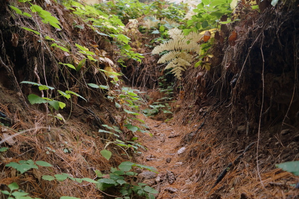
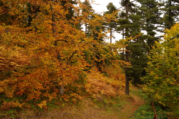
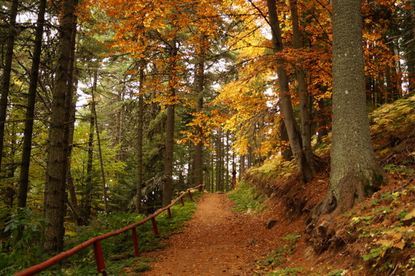
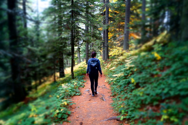
The Historial Trail has steep bits, but is manageable – even when you’re incredibly unfit and eating way too many kebabs. It runs through the forest and is not very exposed to whatever the weather is doing. If I was alone I would have stuck with this trial and not considered anything longer or more challenging, but since I had a walking buddy in Sam we decided to follow the Rocky Trail to a panorama platform at 1936m, which the guide said would take us six hours return. It’s the same trail that leads to the summit of Pelister, but we wouldn’t be going high enough to reach the really tough bits.
The trail to the panorama starts from the information centre and follows the Historial Trail at first, although you can cheat and drive up to Hotel Molika. Starting from there will save you about 45 minutes. The first hour or so wasn’t too challenging. Unfortunately some of the markers on our map weren’t as helpful as they could have been – the “mountain hut” we looked for was burnt down earlier in the year. The remains are at the top of the chairlift that in winter is busy, but in summer sits idle.
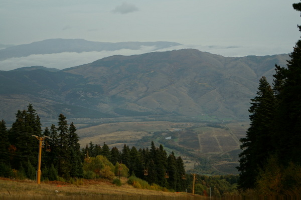
About half an hour beyond the hut the landscape became more open and we could see across to some of the hills that were marked on our map with a little picture of a bear. Slightly un-nerving, but we weren’t actually going over that way. Instead that meant we were going up. After reaching what we assumed to be the “fountain” marked on our map, we began an unrelenting zigzag up the mountain, crossing over some small open fields and eventually spotting some blink-and-you’ll-miss-it signs for the panorama.
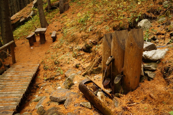
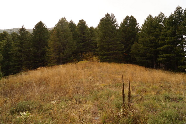
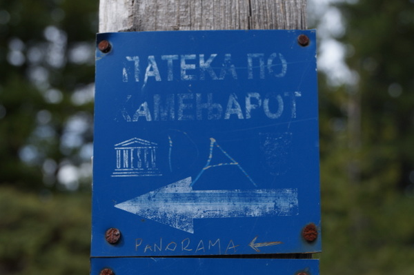
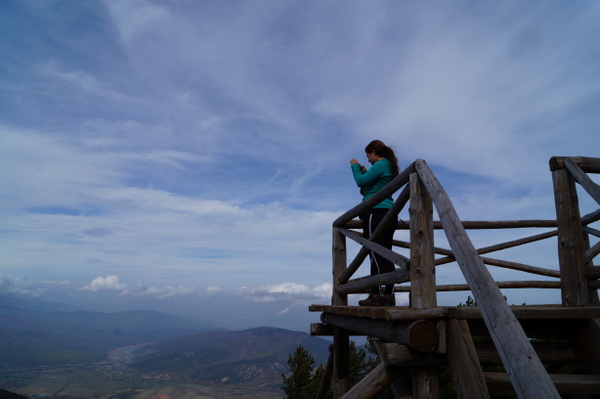
The hike to the “vanguard” at 1936m is considered the “easy part” of the longer walk to the Pelister summit, but don’t be fooled. The track didn’t ever let up and there’s some sizeable rocks to climb over to reach the platform. But once you’re there you’ve got a pretty decent view and a nice place to stop for lunch before heading back down. We walked all the way back down to the information centre to find it closed 30 minutes earlier than advertised, so we walked a couple of kilometres up the road to the hotel and had a cup of tea while the front desk called us a taxi for the €5 ride back to Bitola.
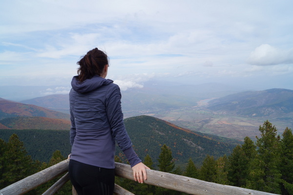
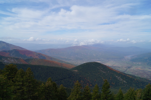
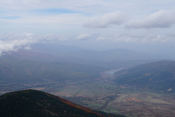
As far as spectacular hiking spots go in Macedonia – there are better. The views I had over Lake Ohrid from Galicica National Park were more rewarding. And a lot of our walk in Pelister was through forests so there wasn’t much to see most of the time. If I had been alone, I’m not sure I would have ventured beyond the Historical Trail, and therefore would have missed most of the views. The trails was interesting but not really much more than a nice stroll in the woods. But in saying that, opportunities to explore natural areas that aren’t tainted by crowds and tourist infrastructure are rare, and I appreciated the chance to see another side to Macedonia, even if it wasn’t that stunning.
